-40%
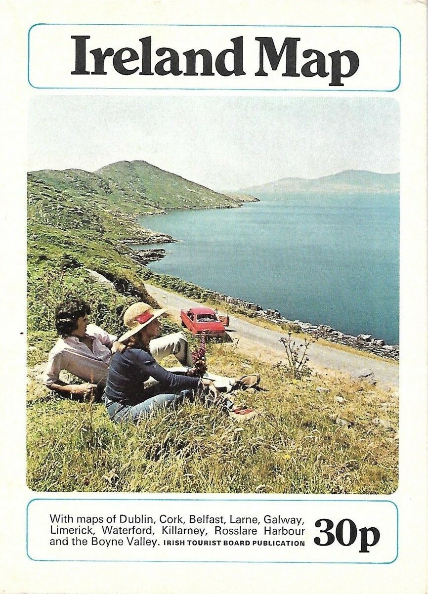
1975 Bord Fáilte Éireann Road Map IRELAND Dublin Galway Waterford Killarney Cork
$ 4.21
- Description
- Size Guide
Description
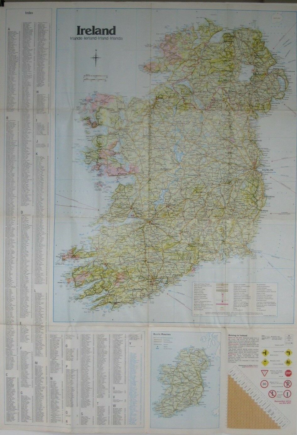
Handsome, colorful large-format fold-out 1975 road map of Ireland, printed more than 43 years ago.This map opens to a generous 64 x 58.5 cm [33" x 23"] and includes the entire island, with a detailed place-name index.
It was published by the Irish Tourist Board (Bord Fáilte Éireann) and is dated August 1, 1975 in the legend.
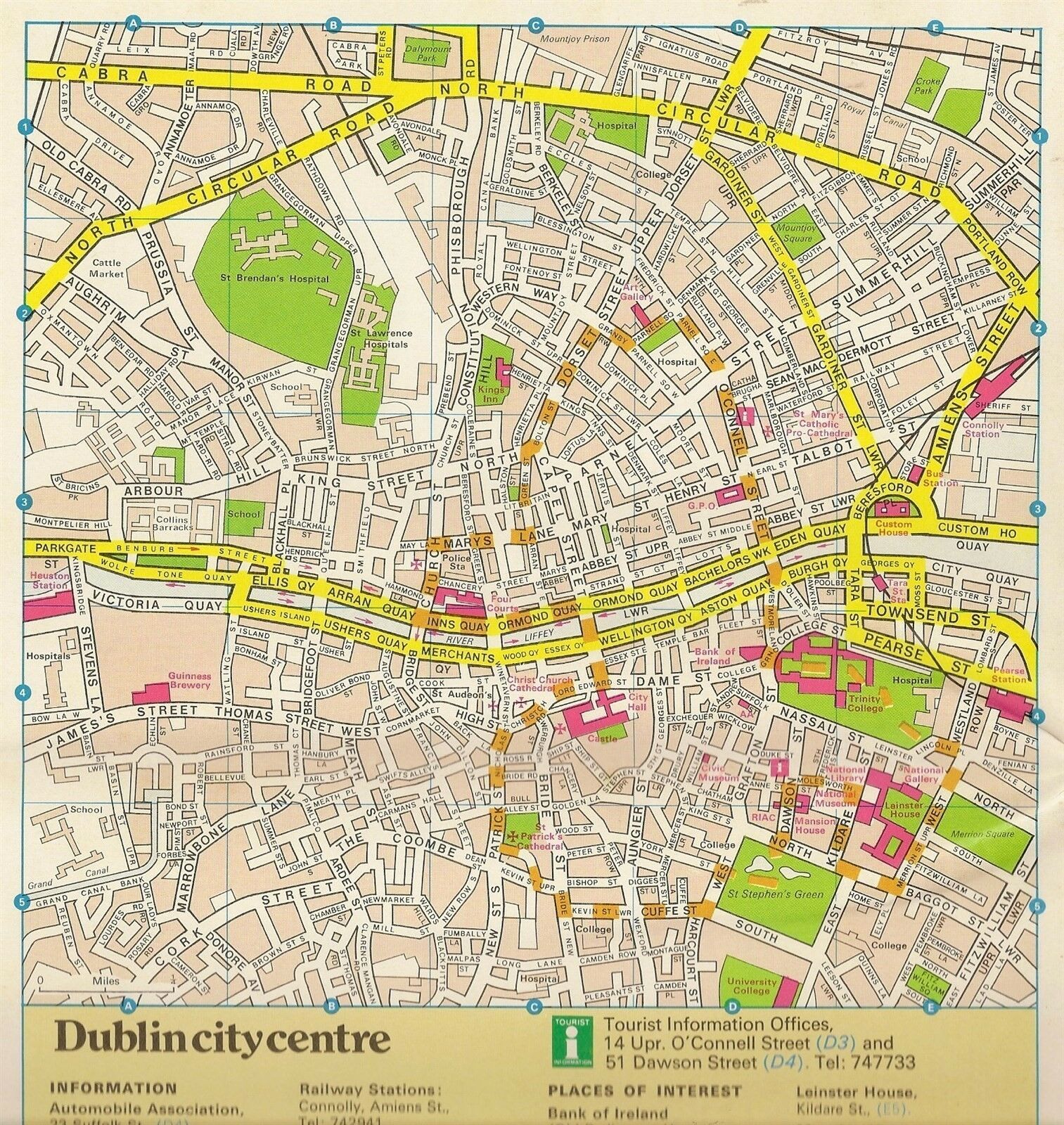
On the reverse side there are inset plans of Larne, Rosslare Harbour, Boyne Valley, Waterford, Cork, Limerick, Galway, Killarney, Belfast, and Dublin.
Condition:
This map is in very good condition, bright and clean, with
no
marks, rips, or tears. Please see the scans and feel free to ask any questions.
Buy with confidence! We are always happy to combine shipping on the purchase of multiple items — just make sure to pay for everything at one time, not individually.
Powered by SixBit's eCommerce Solution
