-40%
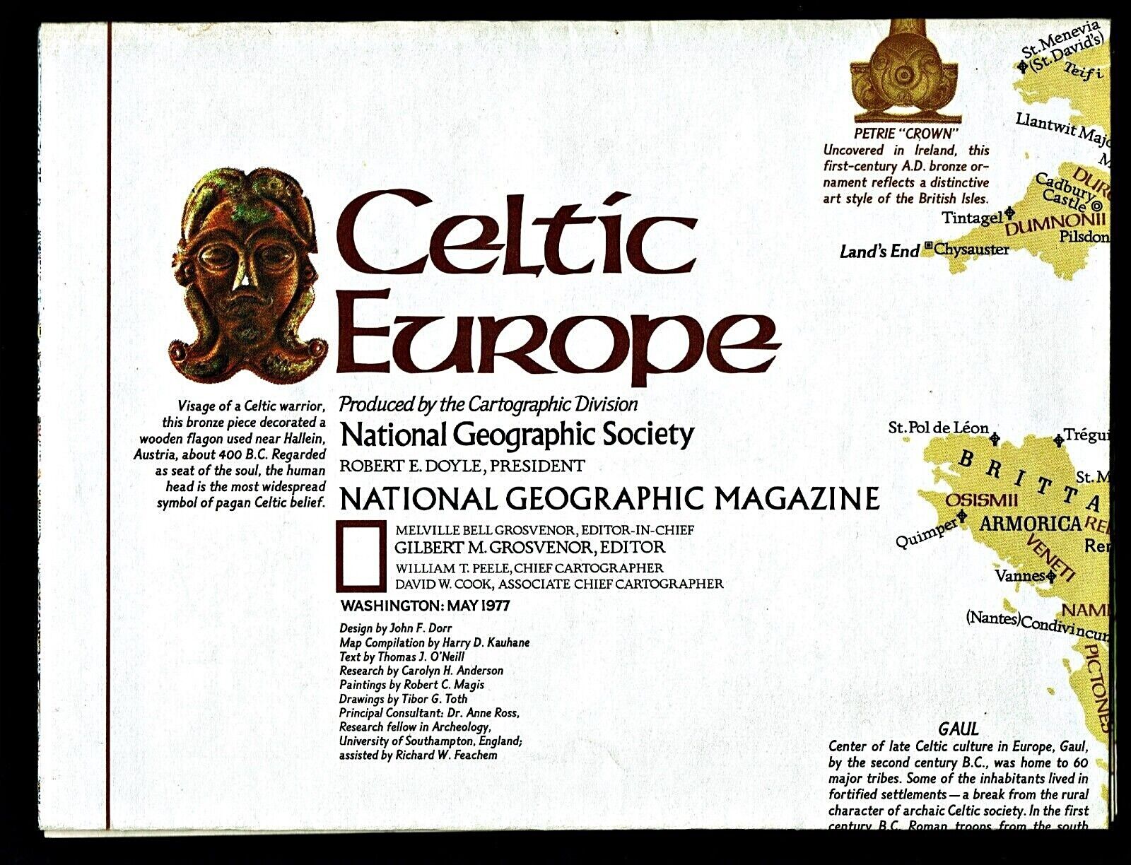
1977-5 May CELTIC EUROPE National Geographic Map Poster School - B (C)
$ 1.97
- Description
- Size Guide
Description
1977-5 May CELTIC EUROPE National Geographic Map Poster SchoolThe ancient Celtics, founders of Europe. The Celts are believed to have originated near the Carpathian Mountains in the 3
rd
century BC, and migrated west and north around 800 BC when they developed iron-working skills to improve their tools and weapons. They rarely used written language, so knowledge about their lives has been primarily gleaned from architectural finds and legends written down by a few Irish monks. The map-side of this study contains a classic National Geographic political map of Celtic Europe, from the Scandinavian countries to the Mediterranean Sea. The reverse-side contains a map of the same area on which are pinpointed and noted Celtic sites that have been identified, as well as facts about the role of women, the Greek influence, the eastward expansion, religion, warfare, Gaul, the Christian Celts, and a depiction of a boar hunt. There are also map insets showing the spread of the Celts across Europe from 800 BC to 1200 AD.
Map is approximately 23” x 32”.
The National Geographic is known for it's fine maps & detailed information.
Supplement to the National Geographic Magazine; magazine is not included.
Free shipping to U.S.
International shipping is by weight - contact us for discou
nted shipping r
ates before you purchase.
