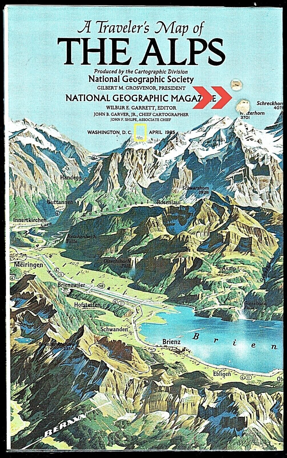
-40%
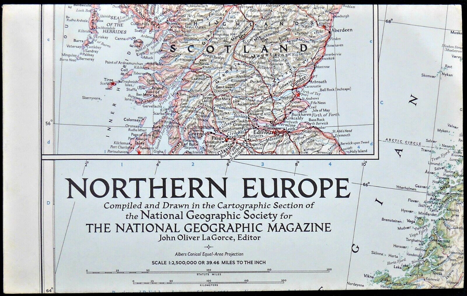
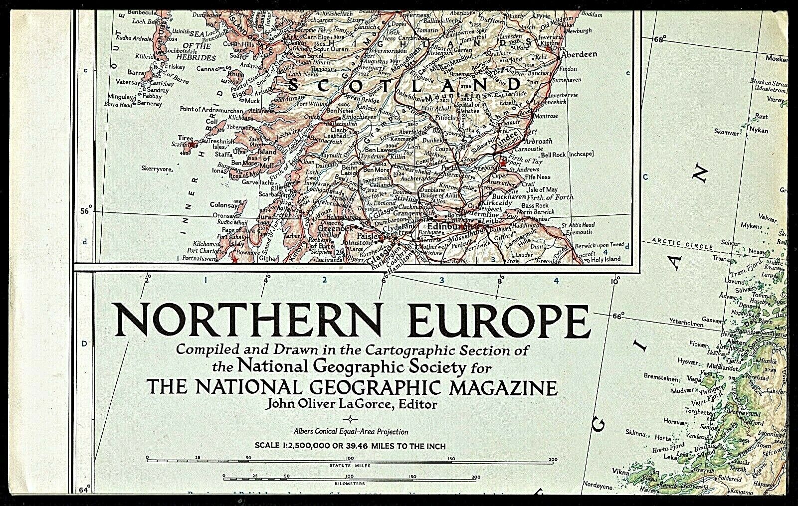
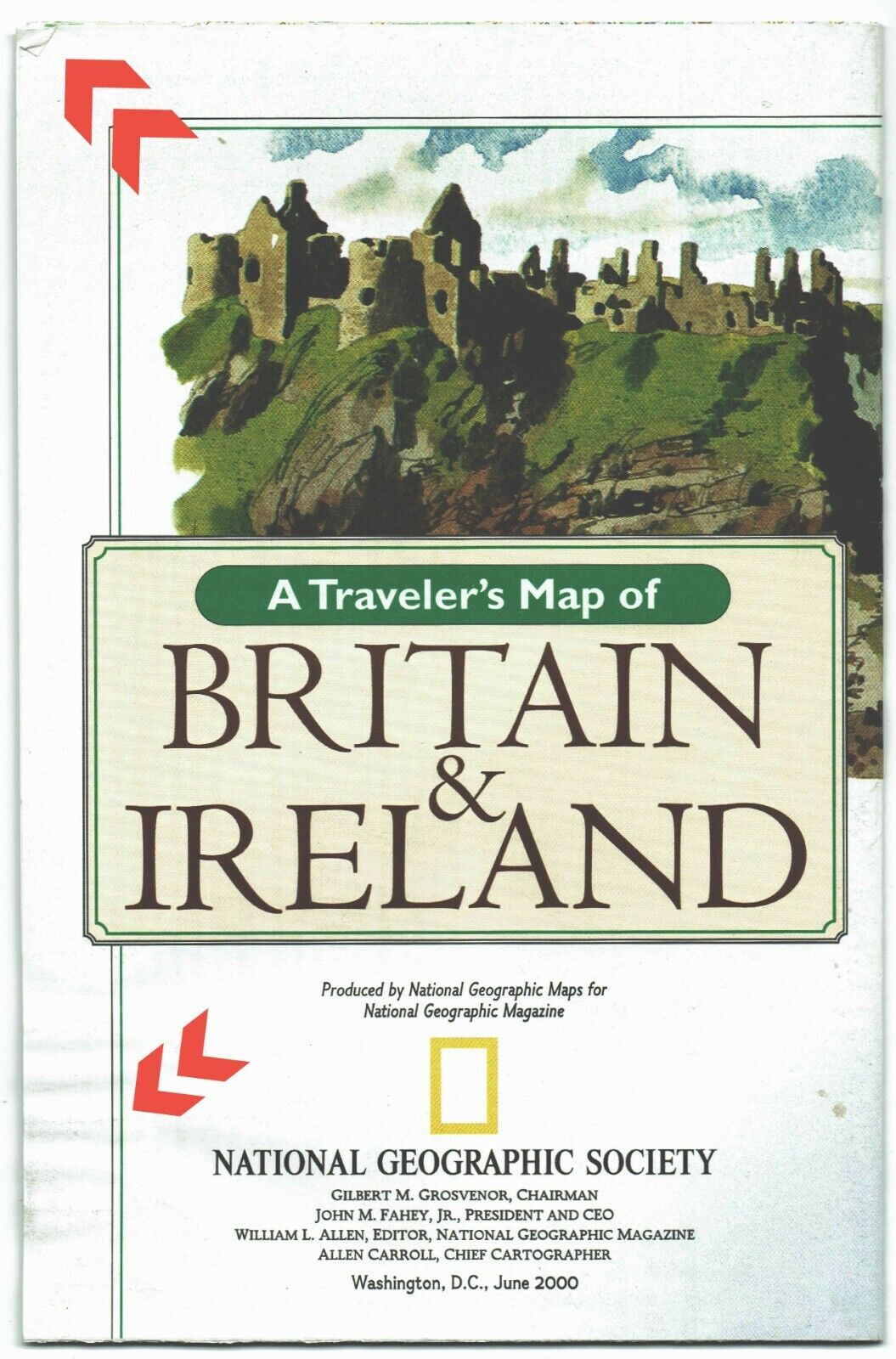
⫸ 1979-10 October MEDIEVAL ENGLAND British Isles National Geographic Map A3
$ 4.19
- Description
- Size Guide
Description
⫸1979-10 Oct MEDIEVAL ENGLAND BRITISH ISLES – National Geographic Map Travel Poster School
England's imposing castles and soaring cathedrals stand as monuments to the Middle Ages, when a united England emerged after various invasions. On one side of this very popular map is Medieval England, with many notations of cathedrals, castles, battles, and various historic events. Around the map are descriptions of the people of the time; the fighters, the workers, the clergy, and the ruler. The paper has been printed to appear aged. The reverse-side is a classic National Geographic political map of modern England, Ireland, Scotland, Wales, and Northern Ireland. Please see all photos of details from both sides of the map. A great travel map for history buffs!
Map
is approximately 28” x 30”.
The National Geographic is known for it's fine maps & detailed information.
Supplement to the National Geographic Magazine; magazine is not included.
Always use your cart to obtain any discounts!
U.S. Shipping
- Please select:
1) USPS Mail Service or Media Mail (average delivery time) .50 for the first item and 50
¢ for each additional item.
2) USPS Package Service (faster delivery and with tracking) .00 for the first item and 50¢ for each additional item.
SAVE - MAP SALE - Select ANY 5 Maps - The lowest priced item is
FREE
- See eligible items above (top left).


