-40%
Origijnal 1920 Map EUROPE New Boundaries After WWI Germany Poland Czechoslovakia
$ 13.19
- Description
- Size Guide
Description
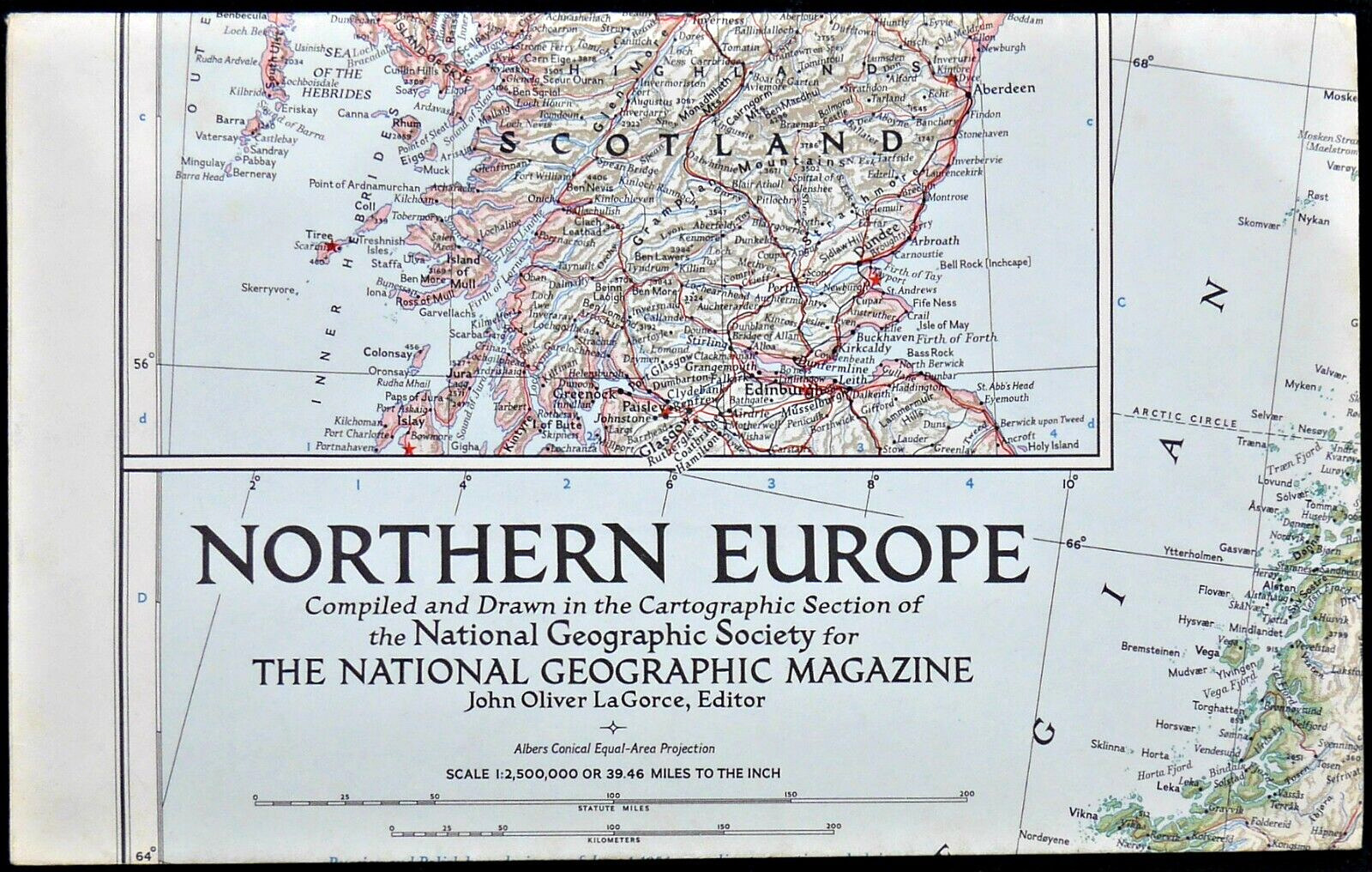
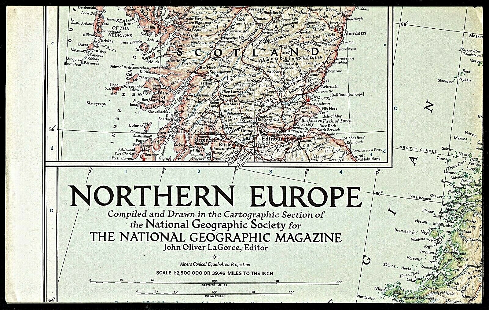
Large-format fold-out 1920 map of Europe and the Near East, printed more than 100 years ago and showing the boundaries as established at the Paris Peace Conference after the First World War.This map is printed in color and opens to a generous 85 x 78.7 cm [33½" x 31"]. It is drawn on a scale of 84 miles to the inch.
The coverage area extends from Iceland to Hejaz, with an inset map of the Dardanelles.
The legend is color coded to show undecided boundaries as well as those definitely decided, plus territorites subject to plebiscite, international territories, and boundaries as they existed before the war.
This is a highly detailed map, with thousands of place names. It shows railroads and ship canals, and topography is drawn in relief.
The map was prepared especially for
The National Geographic Magazine
by the Matthews-Northrup Works, Buffalo, New York, and it is copyrighted
© 1920.
It was included as a supplement to the February 1921 edition of
The National Geographic Magazine
.
Condition:
It is in very good, lightly used condition, bright and clean, with
no
rips, tears, or writing. It is printed on a lightweight paper and is blank on the back, with no printing on the reverse side, and it folds to approximately 9" x 6". Please see the scans and feel free to ask any questions.
Buy with confidence! We are always happy to combine shipping on the purchase of multiple items — just make sure to pay for everything at one time, not individually.
Powered by SixBit's eCommerce Solution


